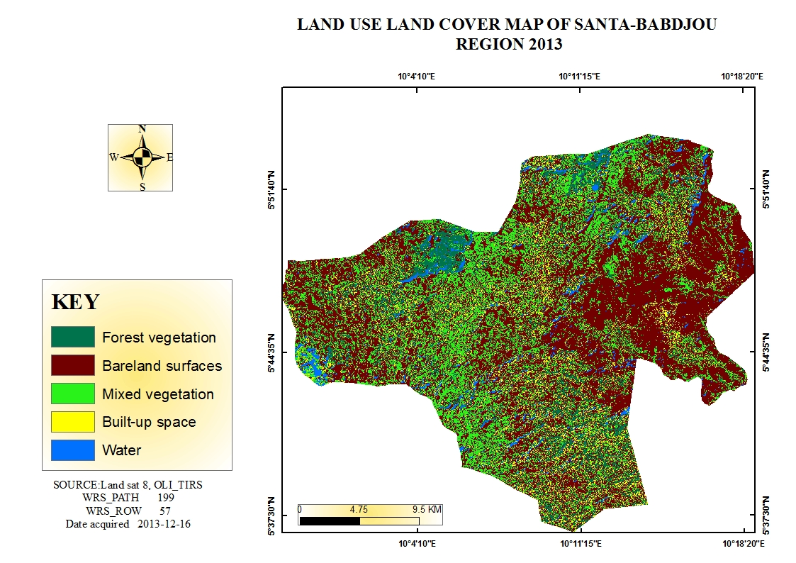
Land Use land Cover (LULC) Map for Santa-Babadjou, Western highland of Cameroon
Derieving data and displaying the visuals from the bivariate or multivariate data is key for spatial planning & policy making, in an ever changing world. I come from a food basket zone in Western highlands of Cameroon, Africa. As a Geographer, I have this burning desire to see smart planning go live especially in a less developed country setting. So in one of my Academic projects, I took to analyzing what changes have occurred in the region. I analysed spatial changes from satellite images and came up with LULC map(s) for the afore mentioned region which gave me an idea on the spatial distribution of land use in the area. This map is a tool that helps in local planning and decision making.